Horsetooth Reservoir
 Horsetooth Reservoir is the third busiest reservoir in the state of Colorado with an estimated million visitors a year. Plan to arrive before 10 a.m. or after 3 p.m. as the reservoir park will likely reach parking capacity, especially on weekends in the summer. Avoid a wait - come early or late! Check Colorado Trail Explorer (COTREX) at https://trails.colorado.gov for the most up-to-date trail conditions, closures, and alerts. Or check under the "Trails & Weather" tab below.
West of Fort Collins
Six and one-half miles of water beckon visitors to come out and play! Surrounded by 1,900 acres of public lands, this reservoir has it all: fishing, boating, camping, picnicking, swimming, scuba diving, rock climbing, and water skiing.
As part of the Colorado-Big Thompson Project to divert water from the west slope to the east slope for drinking water, irrigation, and hydropower generation, the reservoir is jointly operated by the Bureau of Reclamation and the Northern Colorado Water Conservancy District who manage water levels for irrigation, municipal, and industry use. Larimer County manages recreation.
Horsetooth Reservoir requires entrance and camping permits, and is open year round. It's located west of Fort Collins, Colorado, at an elevation of 5,420 feet.
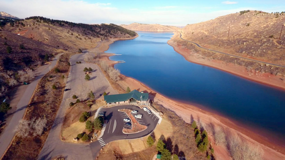
Horsetooth Area Information Center
The Horsetooth Area Information Center, located in South Bay of Horsetooth Reservoir, is open to the public with info on recreation areas, trails, camping, boating, fishing and more. Front desk staff can be reached at (970) 498-5610. The center's hours are:
- March-October: 9 AM - 4 PM, 7 days a week
- November-February: 9 AM - 4 PM; Closed from 12:30 PM - 1:00PM for Lunch, Monday-Friday


