03/19/2024
Larimer County’s newest open space alive with activity
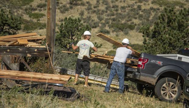
Crews are making significant headway restoring Larimer County's most recently acquired open space, formerly known as Heaven's Door Ranch. This 1,547-acre property near the Big Thompson Canyon will rank as one of the crown jewels of northern Colorado’s open space system.
More about Larimer County’s newest open space alive with activity


