05/1/2024
Our Lands Our Future: Survey results are in!
Survey reveals residents' support for public lands.
More about Our Lands Our Future: Survey results are in!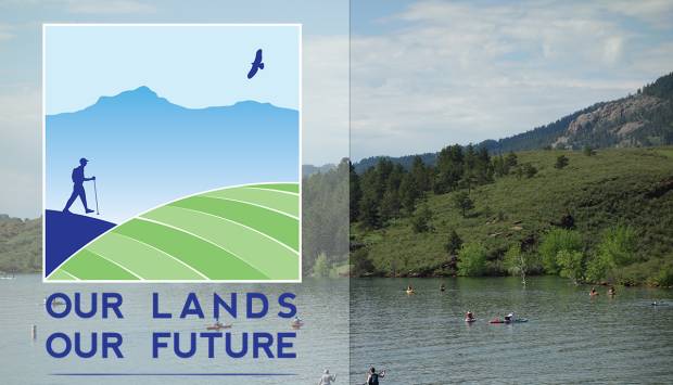
Survey reveals residents' support for public lands.
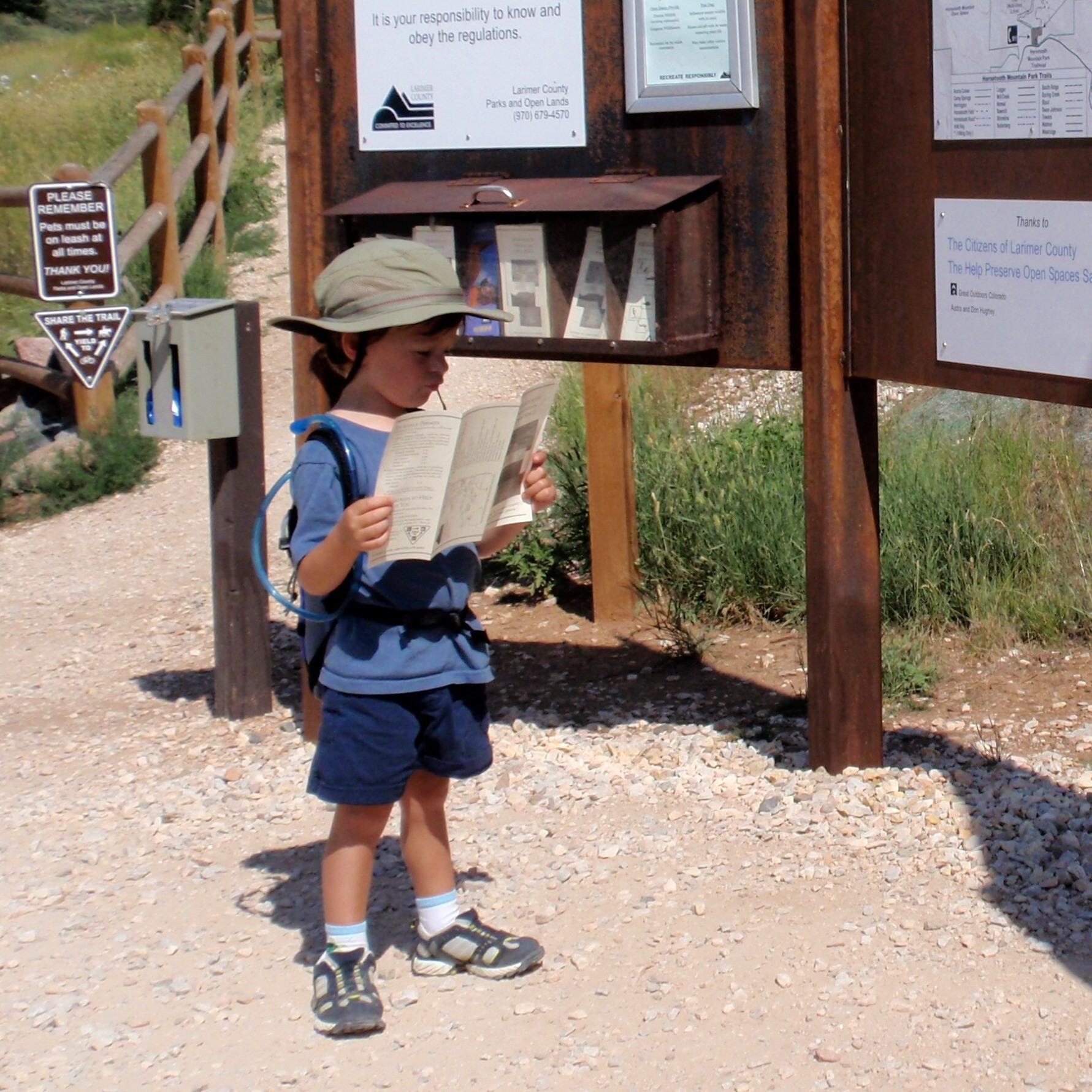
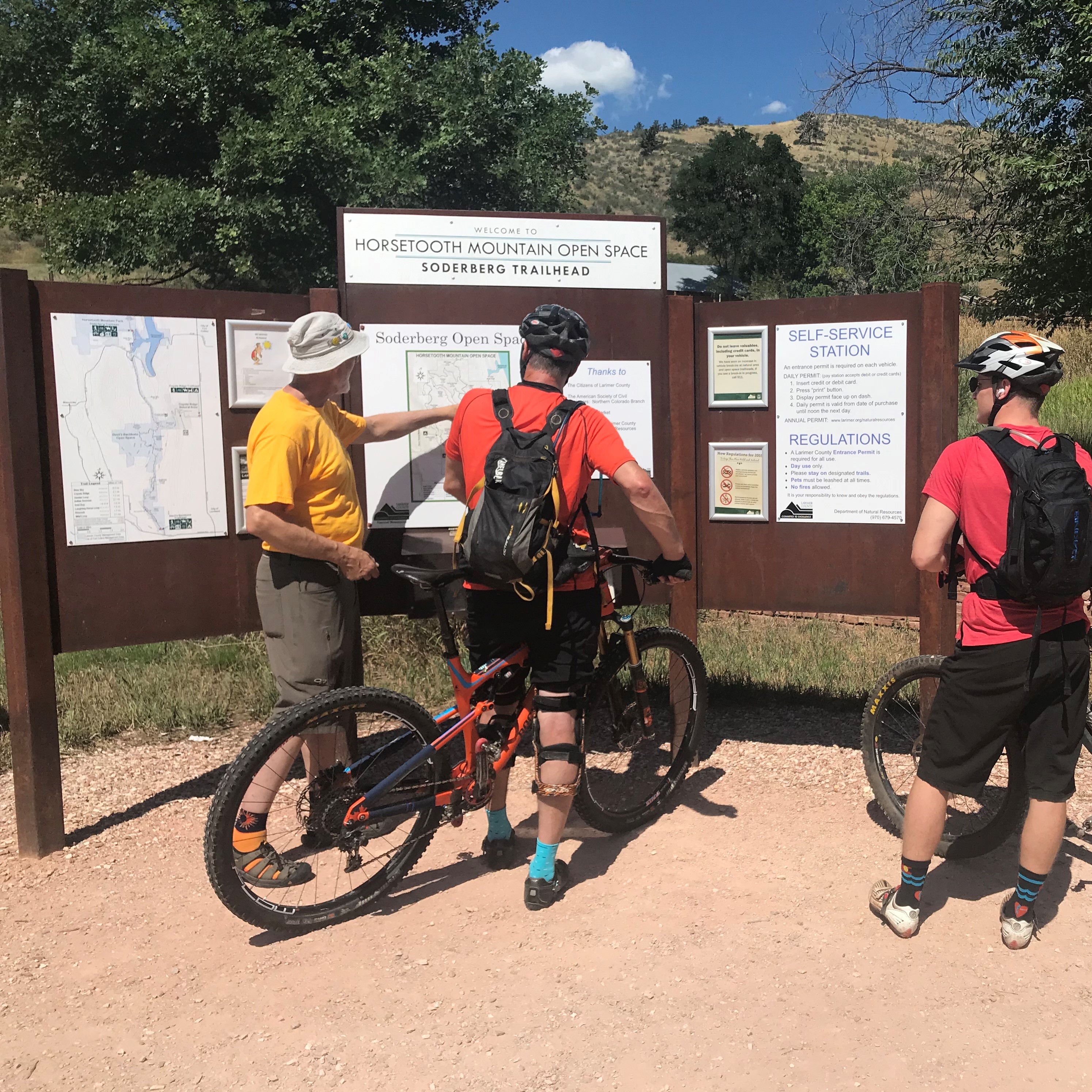
More about Our Lands Our Future: Survey results are in!Horsetooth Mountain Open Space’s main trailhead, 6550 W.
More about Horsetooth Mountain Open Space main trailhead closed April 15-19 for pavingBoat owners hoping to rent a slip at Larimer County reservoirs
More about Larimer County starts lottery system for reservoir marina slipsADMIN OFFICES
1800 S. County Road 31, Loveland, CO 80537 Map
(970) 619-4570
parksoffice@larimer.org
FACEBOOK INSTAGRAM NEWSLETTER


