


02/22/2024
Spring preparedness class offered again
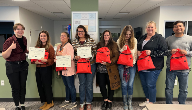
The Larimer County Office of Emergency Management is again offering a preparedness class for the community this spring.
More about Spring preparedness class offered againClick here for Emergency Information
The Larimer County Office of Emergency Management is again offering a preparedness class for the community this spring.
More about Spring preparedness class offered againThe Community Mitigation Grant Program offered through the Larimer County Office of Emergency Management provides grant awards of up to $10,000 to help remove the obstacles communities confront in making them better prepared to collaborate and become more resilient.
More about Community Mitigation Grant Program now accepting applications for 2024Support Northern Colorado’s First Responders on the Front Range at Hero Fest 2023, a free family event hosted by the Larimer County Office of Emergency Management and Canvas Credit Union.
More about Northern Colorado Hero Fest 2023We strive to create sustainable communities and to protect life and property by empowering all who live, work, and visit the County to prevent, mitigate, prepare for, respond to and recover from all types of emergencies and disasters.
For phone information about an emergency, call the Larimer County Emergency Information Line at 970-980-2500. Do not call 9-1-1 unless you have an actual emergency to report.
 We want to make sure you are alerted as soon as possible should an emergency happen in your area. But we need your help!
LETA911 is our local emergency alerting authority for Larimer County. They will be the FIRST to alert you if there is a imminent threat to your life or safety. However, this service is opt-in, meaning if you do not register your device, we cannot reach you!
Upon registering, you have the opportunity to register multiple methods in which to receive alerts, including your cell phone, email, or even pagers!
Additionally, you can put in 5 different addresses to ensure that you are alerted if an emergency happens in multiple areas of concern, including your place of work, or perhaps where your kiddos go to school! If you or someone you know has access or functional needs, such as a dependency on oxygen or mobility needs, LETA allows that information to be registered as well, in case someone requires additional assistance in an emergency or evacuation.
Lastly, you have the right to choose which alerts you want to receive, and can opt out of alerts that do not apply!
Be alerted when it is needed most, sign up today for emergency alerts by visiting www.nocoalert.org or by texting "NOCOALERT" to 888-777.
Lori Hodges, Director of Larimer County Emergency Management discusses several decision-making and adaptable crisis management models and their application to COVID and the destructive Cameron Peak Wildfire on the 5 Minutes to Chaos podcast with Steven Kuhr.
To learn more about the Larimer OEM program areas of focus within emergency management, meet our staff, and learn the work that they focus on, please check out these Larimer OEM Program Documents that are available in both English and Spanish.
Office of Emergency Management
4872 Endeavor Drive, Johnstown CO
Johnstown, CO 80534
Emergency Information Line: (970) 980-2500


